
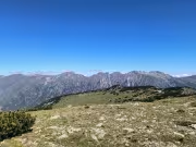
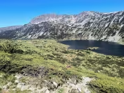
The hike to the Manastirski Lakes and then along the ridge toward the peaks of Teodosievi Karauli, Rilets, and Kyoravitsa is one of the most scenic routes in the northwestern part of the Rila Mountains. Along the way, you'll enjoy spectacular views of numerous alpine lakes, including the Dzhendemski Lakes, Smradlivoto Lake, Mermersko Lake, and the Ribni Lakes.
Our original plan was to complete a one-day circular hike. We would drive to the start of the trail leading to the Manastirski Lakes, continue along the ridge to the Ribni Lakes, descend to Tiha Rila, and then follow the forest road back to the car. The trailhead is located roughly halfway along the road between Kirilova Polyana and Tiha Rila.
At first, our group consisted of four people, but two more friends joined us in a low-clearance car. Since the rough road wasn't suitable for their vehicle, we left it at a small turnout about 2 km beyond Kirilova Polyana. All six of us squeezed into Buchinski's Subaru for the remaining 2 km to the trailhead. It was a bit cramped, but manageable for such a short drive.
The trail to the Manastirski Lakes turned out to be very well marked with the Bulgarian white-green-white trail markings, and there were plenty of direction signs along the route. The climb through the forest was steep from the very beginning. The trail was lined with wild blueberry bushes, which should be full of ripe berries by August.
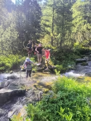
Before reaching the open alpine terrain, we encountered only one minor obstacle. We had to cross a small stream, but because it was still early in the summer, the water level was high enough that we had to take off our boots and wade across barefoot. A few weeks later, it should be possible to cross on the rocks, which were completely submerged during our visit.
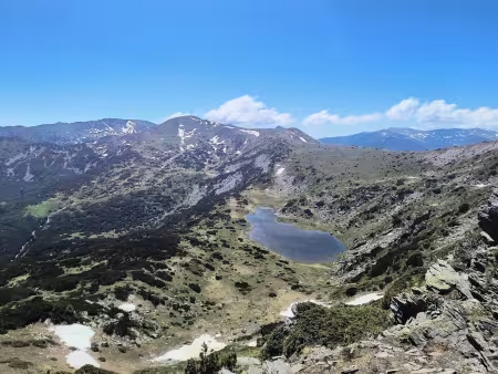
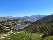
Keeping a brisk pace and following the trail markers, we soon reached the first of the Manastirski Lakes. We barely stopped along the way, taking only brief one-minute breaks to drink some water. Once we reached the area just below the largest of the Manastirski Lakes—Black Gyolche—we began climbing toward the ridge that runs north of Mount Baba. After reaching the ridge, we turned south and headed for the summit.
From Mount Baba, we descended slightly before making the gentle climb toward Mount Dabrava, which lies about 100 meters south of the main ridge. Personally, I would never have considered it a true summit, but since it is marked on the maps, we couldn't resist making the short detour. It stands at an elevation of 2,577 meters.
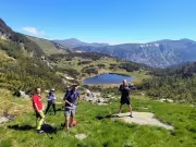
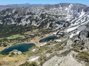
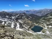
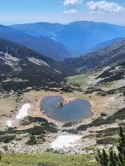
Next came Mount Teodosievi Karauli, which we climbed in about fifteen minutes. By then it was lunchtime, and we started looking for a good place to sit down and eat. A strong wind was blowing along the ridge, so we decided to keep walking until we found a more sheltered spot. Eventually, we found one between Teodosievi Karauli and Mount Rilets. This was our first proper break of the day. From there, we were rewarded with magnificent views of the Dzhendemski Lakes, nestled in the glacial cirque between the two peaks.
Rested, well-fed, and re-energized, we soon reached the ridge of Mount Rilets. Most of the ascent is across pleasant grassy terrain, although the final approach to the summit is covered with an unpleasant stretch of loose rocks. Nevertheless, we climbed to the highest point, where a summit sign is mounted on a large boulder.
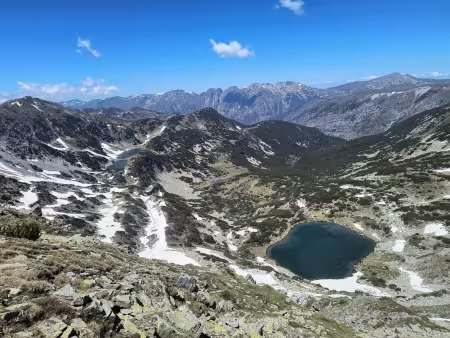
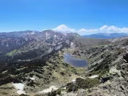
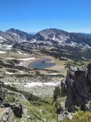
Only the final climb remained. We descended slightly before making the ascent to Mount Kyoravitsa. Along the way, Mermersko Lake came into view on our left, its distinctive outline resembling the shape of a heart.
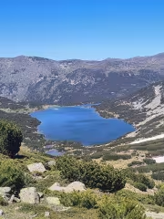
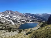
The group stopped at the summit of Kyoravitsa for a short break, while I continued alone toward the foot of Mali Mermer. My goal was to photograph the Blue Lake, which I consider one of the most beautiful lakes in the Rila Mountains.
Coincidentally, I met an acquaintance from Blagoevgrad there—Dean. He and his group were finishing another excellent circular hike in the area. Their route had started from the Iliina River ranger station, continued to Kadin Grob, followed the ridge over Aladzha Slap, Karaalanitsa, and Pavlev Peak, before descending past the Blue Lake back to the ranger station. It certainly seemed like an excellent idea for a future adventure.
After taking my photos of the Blue Lake, I retraced my steps. By then, the rest of the group had already descended from Kyoravitsa, so we continued together toward Ribni Lakes Hut.
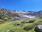
At the end of June, the trail was still very wet. Large patches of snow remained scattered across the slopes, slowly melting and creating numerous shallow streams that we had to wade through from time to time.
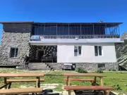
We took another longer break at Ribni Lakes Hut. We had something to eat, some of the group enjoyed a well-earned beer, while others soaked their tired feet in the icy mountain water. We still had around 8 km left before reaching the car.
From Ribni Lakes onward, there isn't much more to describe. We followed the trail downhill to Tiha Rila and then continued along the gravel road toward Kirilova Polyana. Our car was parked roughly halfway along this road, making for a straightforward finish to the hike.
By the end of the day, we had covered nearly 27 km with approximately 1,600 meters of total ascent. We completed the entire circular route in 9 hours and 30 minutes.

Add new comment