
The Tsarev Peak ridge is not a particularly popular hiking destination, despite the interesting stories connected to the summit, as well as the megalithic Thracian sanctuary located at its foot. Our plan for this hike was to traverse the entire Tsarev ridge and pass over every single peak along it.
During our first ascent of Tsarev Peak in 2020, which I described in the blog, we first climbed the summit and then, on our way back, made a detour to the Thracian megalithic sanctuary called Markov Kamak. Since this time our goal was to walk the entire ridge, the sanctuary became the first objective in our plan.
We met at 7:00 a.m. — five of us in total: me, Anelia, Mihaela, Mira, and Vesko. We had arranged for a high-clearance jeep to take us as far as the dirt road allowed. At Bodrost we stopped for coffee, some grabbed a quick bite, and then the jeep drove us to the area where there are many guelder-rose trees (as I described in the 2020 article, these are also known locally as rowan-like trees).
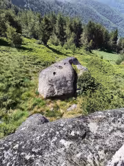
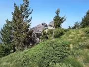
This time the trail was much clearer and better marked, so from the drop-off point to the Dobro Pole saddle we climbed in about an hour. The path is not steep, gently winding through the forest and very pleasant to walk. There you reach a group of rocks considered part of the megalithic sanctuary. Similar rocks are scattered throughout the surrounding area.
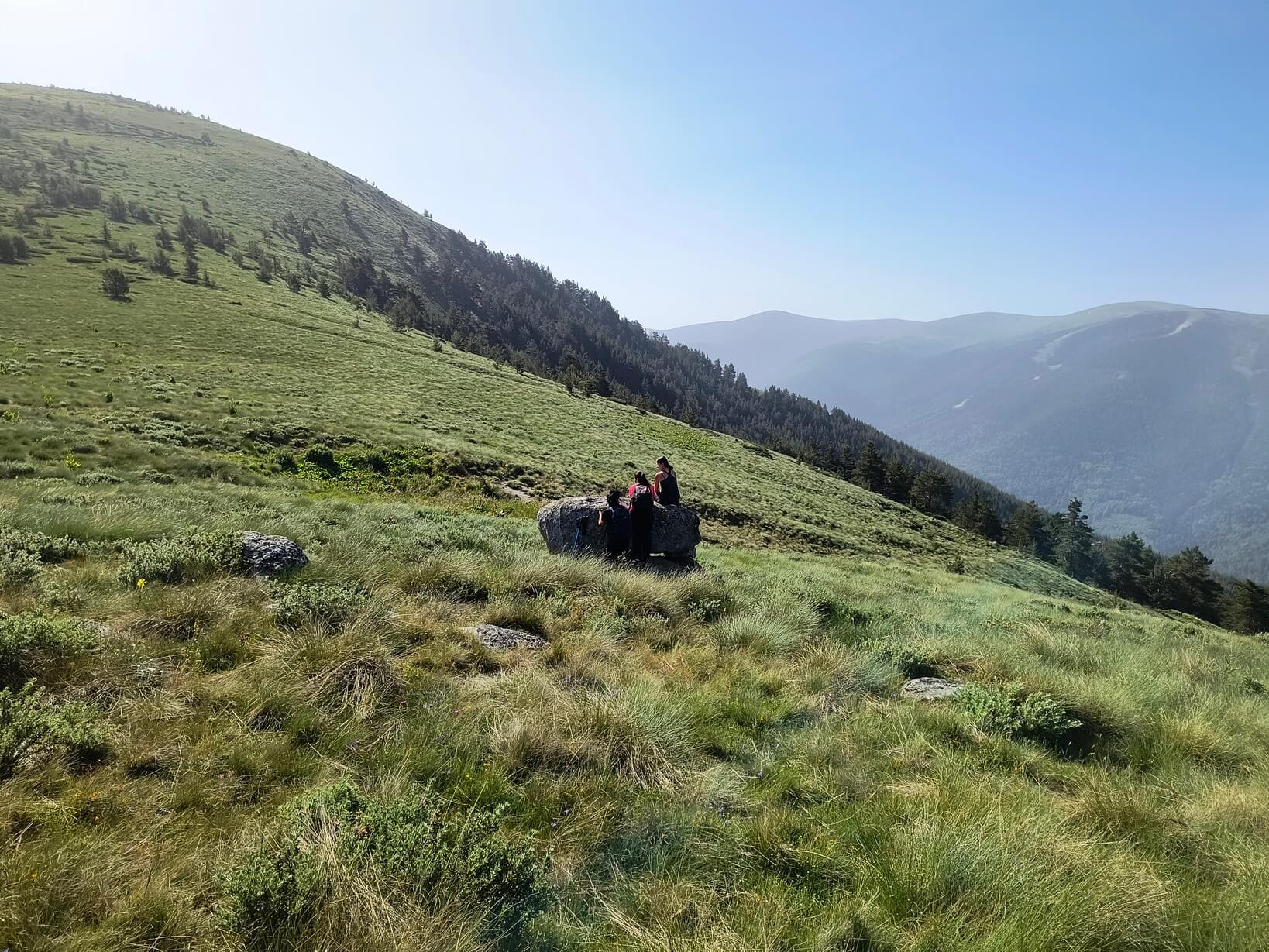
The downside is that the markings end there. Toward the main part of Markov Kamak and Tsarev Peak there is almost no trail marking (there are occasional stone cairns, but they are sparse). You have to push through juniper. Instead of relying on the offline maps on our phones, we decided to navigate by memory and got slightly off track. Eventually we spotted the sanctuary and headed toward it, which took us another hour.
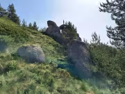
The Thracian sanctuary is impressive — massive stones arranged in such a way that a slit forms between them, through which the sun appears at sunrise during the summer solstice. If you want to read more, there is a well-written article on Wikipedia: https://bg.wikipedia.org/wiki/%D0%9C%D0%B5%D0%B3%D0%B0%D0%BB%D0%B8%D1%8…
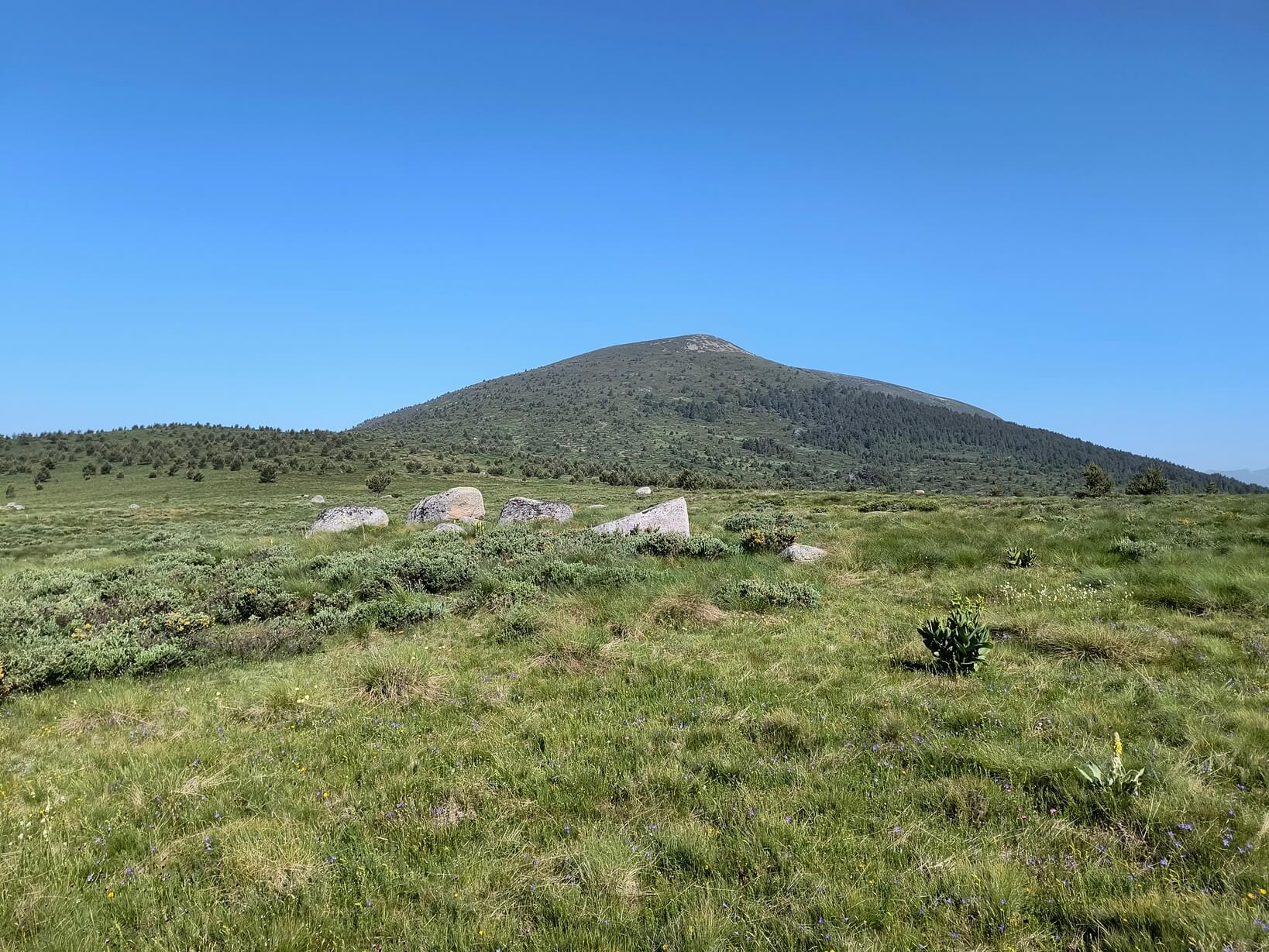
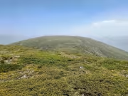
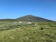
After spending some time there taking photos, it was time to climb Tsarev Peak. This time we headed straight uphill through the juniper. There were occasional cairns, but even if a path once existed, the vegetation had reclaimed most of it. We reached the summit a little after 11:30 — just in time for lunch.
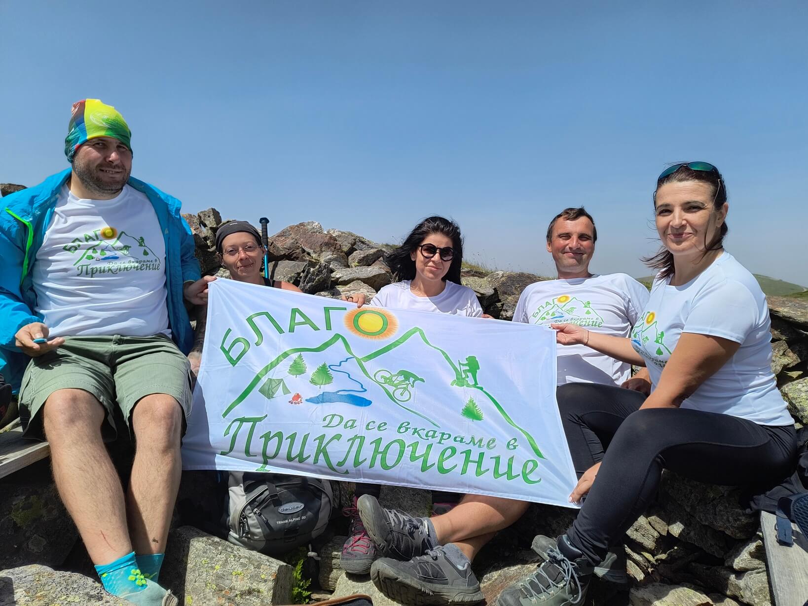
A strong wind was blowing, and visibility was poor due to heavy dust pollution. A few meters from the summit marker there is a small stone shelter, where we settled in; someone had even placed a few planks to serve as benches. We ate, shared a beer that Vesko had carried up, and took a few photos while sitting inside the shelter.

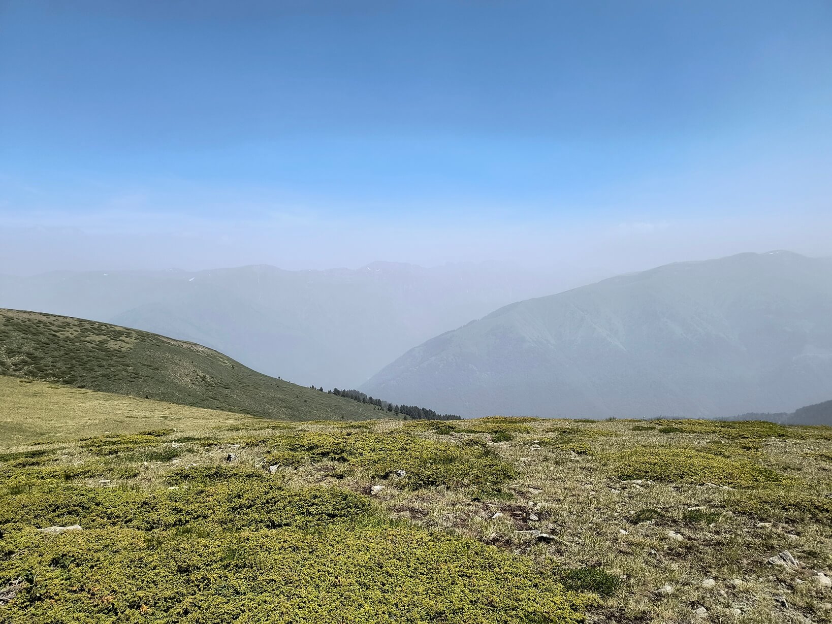
When it was time to move on, we took a few quick photos at the summit sign and headed west, accompanied by the strong wind. A gentle descent led us to a dirt road that bypasses the peaks we planned to climb. If you're in a hurry, you can simply follow that road down. But our goal was to visit every summit along the Tsarev ridge.
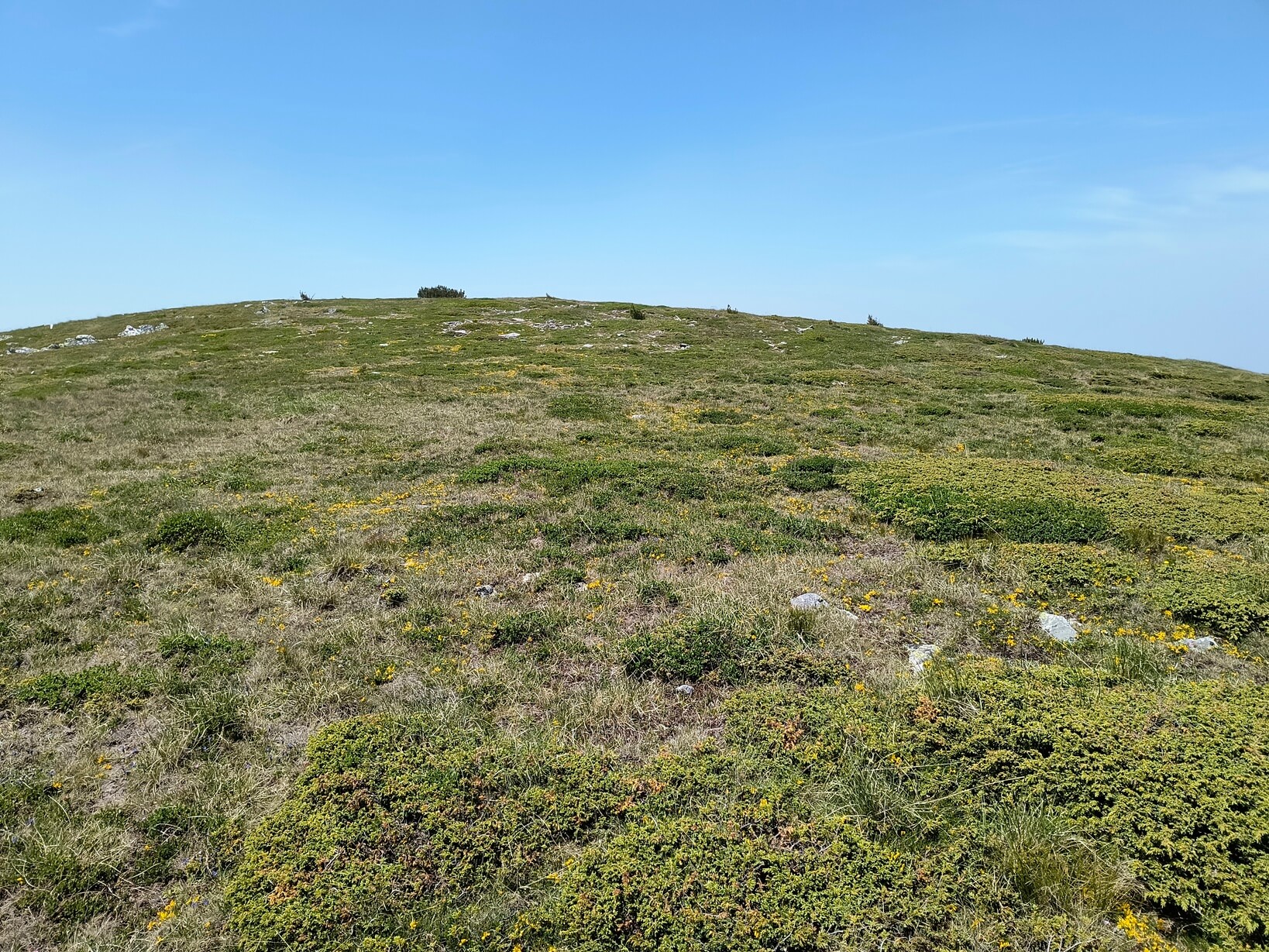
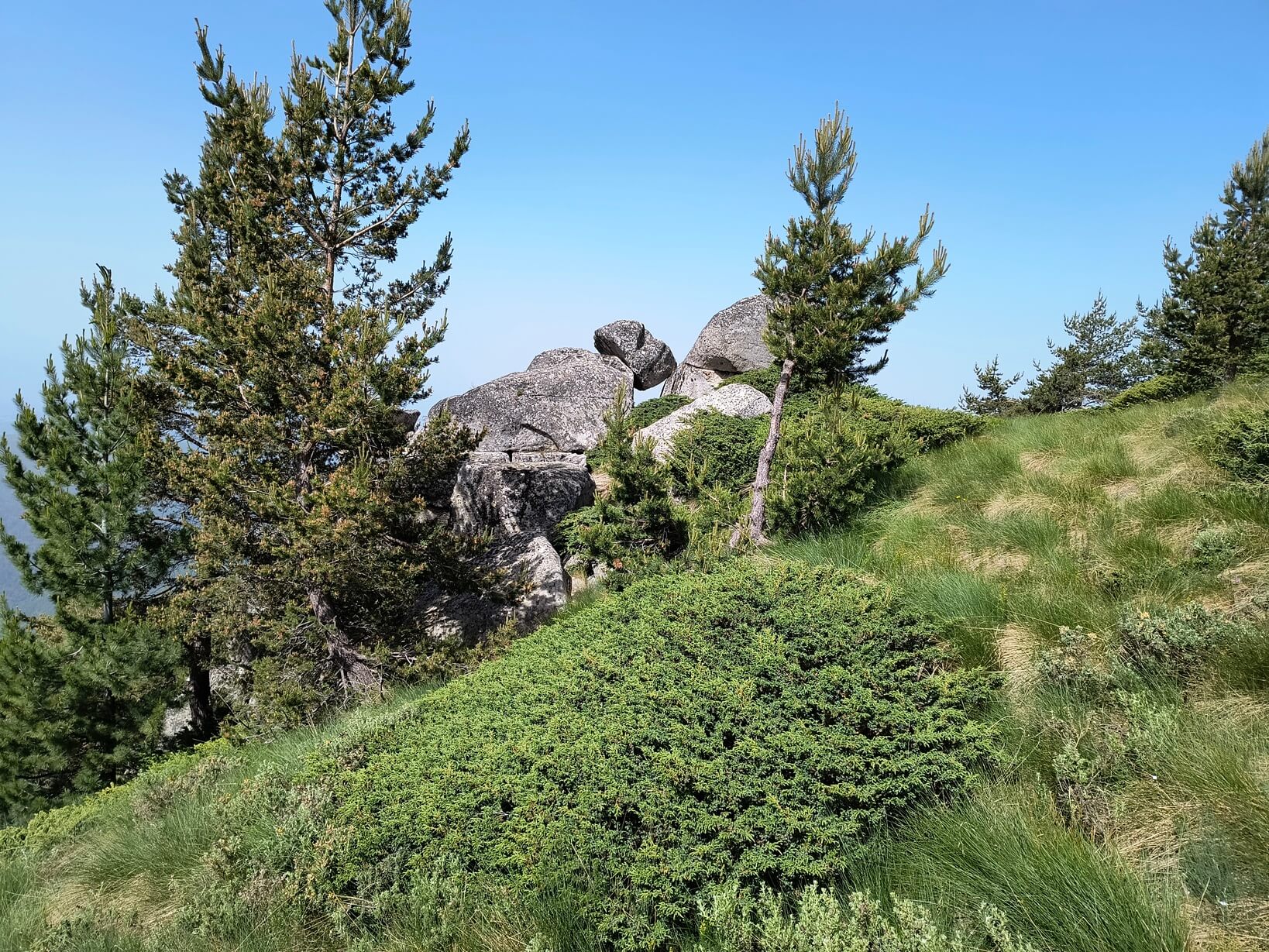
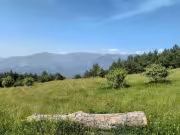
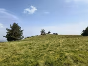
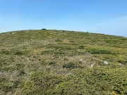
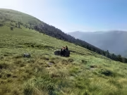
West of Tsarev Peak lies Rizvanitsa (2,360 m), a grassy summit with two high points, now beautifully green and covered in blooming flowers. From the western point the descent becomes steeper, again through juniper, until we reached the road. We left it once more and began a steep climb toward Musov Peak (Belchevitsa, 2,261 m). There we sat on some rocks to rest, and naturally the three women in the group — all smokers — lit a cigarette at every break.
Up to this point there were no visible trails along the ridge or peaks. From the lower point of Musov Peak we could finally see something resembling a path, which we followed down to the next saddle and then climbed briefly to Derizmiitsa (1,876 m). A descent followed toward a rock formation called Kitanovi Bachii before we began climbing again toward Kilero Peak.
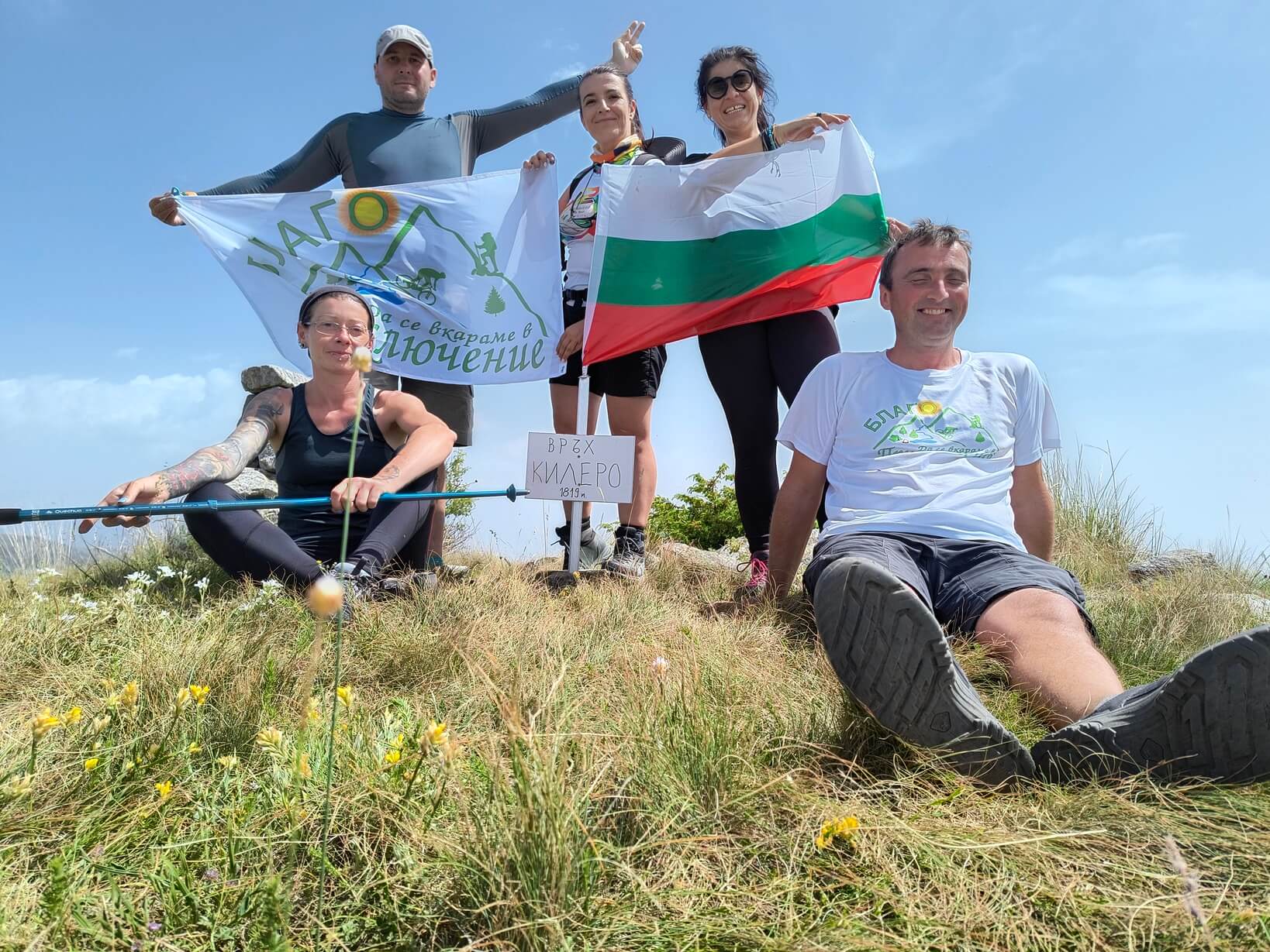
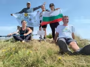
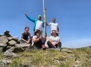
Halfway up the short climb to Kilero we found deep shade under several pines and lay down in the grass to wait for Anelia and Mihaela, who had stayed behind on yet another smoking break. Once reunited, we climbed the final hundred meters to the summit. Surprisingly, there was a Bulgarian flag and a small sign left there. The peak is 1,819 meters high. We took more group photos and another rest. Time was flying, and our breaks were becoming more frequent — not ideal. Our water was running low, but I knew of a fountain not marked on the map.
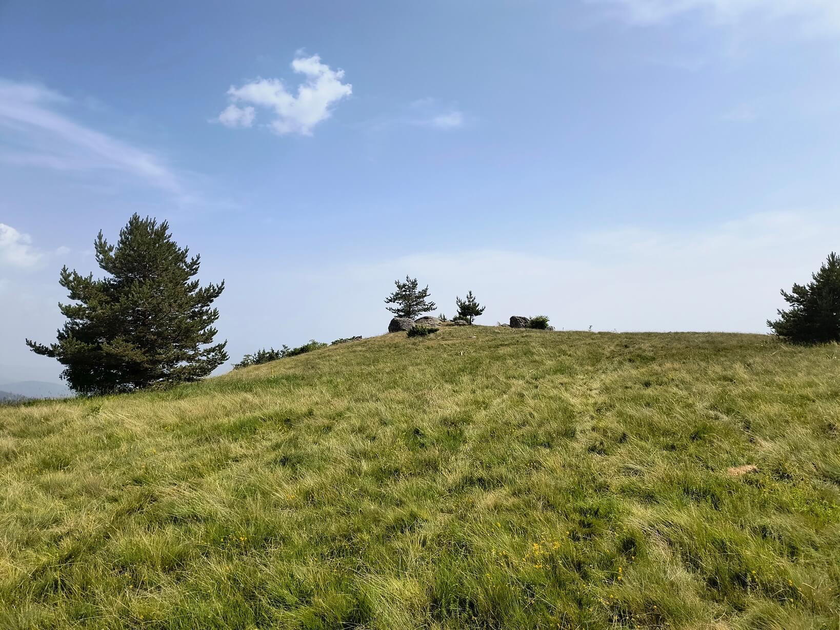
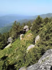
After Kilero there is a very steep descent along a dirt road, extremely dusty, with clouds of fine black dust rising behind each of us. Reaching the lowest point, we began another climb toward Preslopa and then Fakiro Peak (1,666 m). Preslopa is a panoramic area with a few rock outcrops, while Fakiro is a small summit surrounded by coniferous forest, marked simply by a blue-painted stone.
From there another steep descent followed along a dirt road until we reached a junction of several tracks. Our direction was left, and about a hundred meters later we arrived at the fountain. Someone had broken the stone slab, but fortunately the water was still flowing, and we enjoyed the cold mountain water.
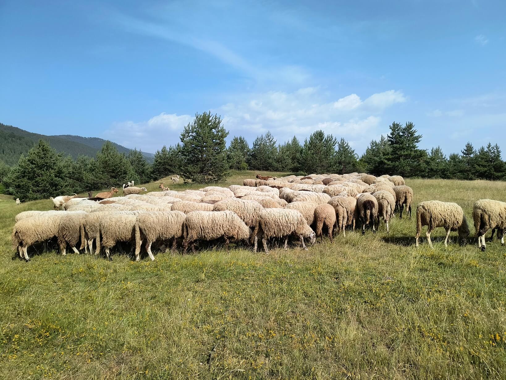
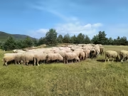
On the way to the next summit — Prashka (1,365 m) — we walked through a beech forest, a brief relief from the increasing heat as we descended. The “summit” itself (if it can be called that) we had to skirt slightly, because a flock of sheep was grazing there, guarded by more than ten dogs. Fortunately, the shepherd was nearby and calmed them.
A little below the peak we stopped again, ate whatever food we had left, and gathered strength for the final descent. It was already past 5:00 p.m., and we still had quite a few kilometers ahead. Shortly before one of the Bistritsa hamlets — Gorno Demirevo — our group split. Mihaela and Anelia headed toward the village and called for a ride, while we continued down an old bike route called Scorpion Trail.
However, no cyclists had used that trail in a long time, and runners hadn’t climbed it either. It was badly overgrown with tall grass and thorny bushes. At one point we even lost the path and had to wander through the forest until we found it again. All this happened because one of the group insisted earlier that a car be left at the fountain before Bistritsa. Had we followed our original plan to continue the ridge all the way to Blagoevgrad, we would have avoided that overgrown trail entirely.
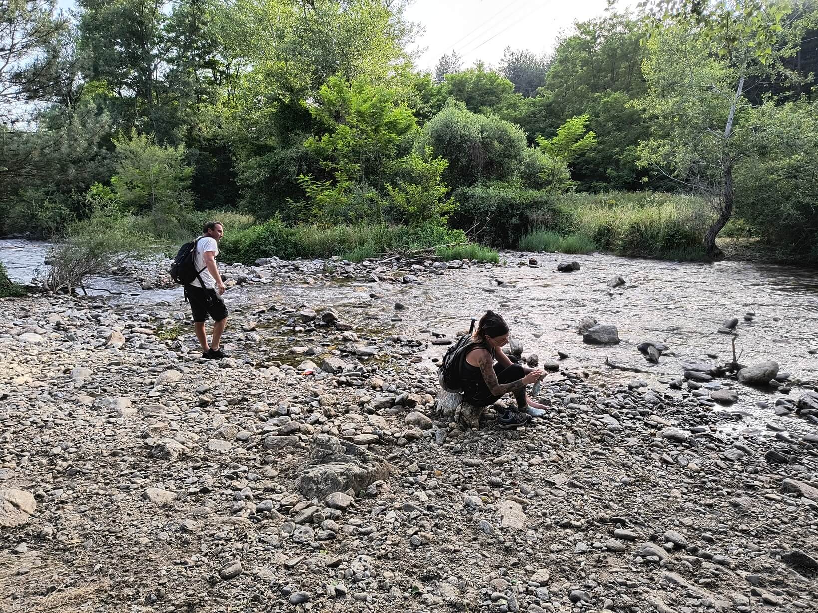
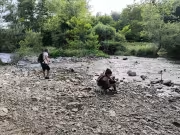
In the end, after that unpleasant descent, we reached the Bistritsa River, which we happily waded through. The cool water felt great on our overheated and scratched legs. It was 19:30. We got into the car we had left there and returned to Blagoevgrad.


Add new comment