
The Skakavtsi are a group of several peaks located in the easternmost part of Central Rila, directly across the Beli Iskar River valley from Musala, the highest peak in the Rila Mountains. We had been planning to visit them for quite some time, and finally their turn had come.
The plan was simple – an early start and a steady pace. We left Blagoevgrad at 6:30 a.m. and by around 8 we had already parked at Tiha Rila. We filled our bottles with water and headed uphill along a trail starting just before the ranger station, which eventually joins the E4 long-distance route. There were only three of us – me, Sasho and Lyubo Buchinski.
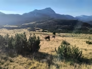
We kept a brisk pace and gained elevation quickly, stopping only for very short breaks. At one point we met two herdsmen who had cattle grazing higher up the mountain, and exchanged a few words with them without even sitting down.
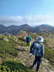
At around 8:30 we joined the marked E4 trail leading from Ribni Ezera towards Malyovitsa. As we continued climbing, the views gradually began to open up. First we could see the Ribni Lakes, then Smradlivoto Lake, and of course the entire chain of peaks surrounding them – Yosifitsa, Kanarata, Zabtsite, Rilets and many others.
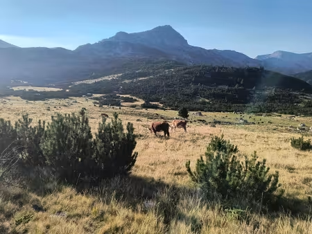
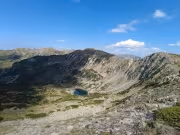
Just below Marinkovitsa we turned right onto a small trail traversing the slope. It would take us to the ridge shortly before Vazela Peak. To our left stood Yozola (Pogledets), but our destination lay elsewhere, so we passed it by. As we approached Vazela, another lake appeared below us – Halovitoto, one of the three Dolnolyavorechki Lakes.
We reached Vazela Peak (2,581 m) in just under two hours from the start. We took a five-minute break there, just enough time to eat a wafer and get some quick energy. The next summit along our route was Draganitsa (2,641 m). At its base, I hid a 1.2-litre bottle of water among some rocks. The weather had been cool so far, we were moving quickly, and I had barely touched the 3.5 litres of water I was carrying. I continued towards the Skakavtsi with just under two litres.
After crossing Draganitsa, we descended slightly and then climbed again before reaching the foot of the first of the Skakavtsi peaks.
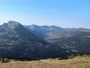
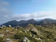
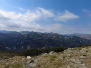
This was where we split up. Sasho decided to traverse the slope and head directly towards the highest peak of the group, while Lyubo and I climbed the first summit. To our left was another lake – Pesaklivoto. Once on top, Musala and the Bliznatsite peaks rose directly across from us, although clouds were gathering around them and the views weren't particularly clear. We reached the summit in just under three hours from the start of the hike.
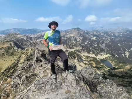
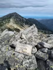
This is probably a good place to mention that the names of these peaks are rather confusing, as the map and the signs on the summits don't agree.
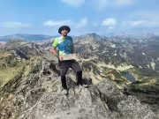
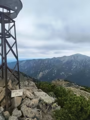
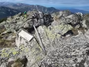
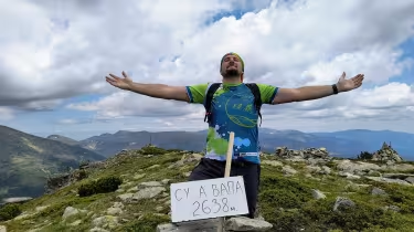
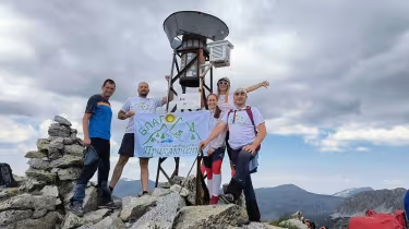
On the BGMountains map, the first peak is marked as Golyam Skakavets (2,685 m), while the sign on the summit simply calls it Skakavets. The next summit is unnamed on the map, rises to 2,711 m and has an old metal rain gauge dating back to the socialist era. According to the sign on the summit, however, it is called Trite Mushi. The next one is Malak Skakavets (2,682 m), while the final summit is marked as Skakavets on the map but as Golyam Skakavets (2,706 m) on the sign.
As I mentioned, Sasho had gone directly to Trite Mushi. He waited for us there, and we finally sat down for a proper rest and something more substantial to eat. It was 11:15 a.m. – three hours and fifteen minutes after we had started.
One mistake I made with my food was preparing sandwiches with a particularly salty salami. Afterwards my thirst increased dramatically. Up to that point I had drunk only about half a litre of water, but over the following hour I went through another litre.
Sasho decided to turn back. He wasn't interested in continuing towards the remaining Skakavtsi peaks, so Lyubo and I carried on without him.
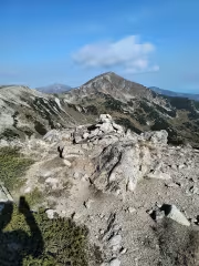
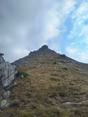
Getting to Malak Skakavets was straightforward, but afterwards we entered a dense section of dwarf pine. We followed a few stone cairns, although we also had to keep checking the map on the phone because the trail kept disappearing. Eventually we reached the foot of the final Skakavets. From there the route upwards was obvious – along the right-hand slope, which was free of dwarf pine. The cairns also pointed in that direction.
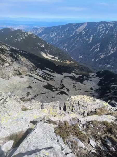
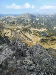
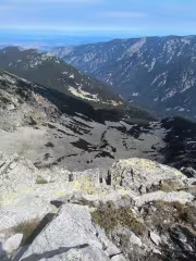
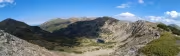
While resting on Trite Mushi earlier, we thought we had seen some people on this summit, but when we arrived there was nobody around. Once we reached the top, Sakan Dupka opened up below us – a very steep, lake-free glacial cirque at the far end of the Skakavtsi ridge.
Having made it this far, I decided it was time to turn back. Buchinski was considering continuing to the final unnamed point along the ridge, but by then I was already quite tired. The previous day I had cycled more than 50 km through the Rhodopes, from Avramovo via Ortsevo towards Eleshnitsa. I had also slowed down considerably on the final climb. My water consumption had suddenly increased, and I was beginning to worry that what I had left wouldn't be enough.
In the end Lyubo decided to turn back with me, so we slowly began retracing our steps. It was 12:45 p.m.
On the way back, we discovered that there really had been people on the summit earlier. They had continued to the final point along the ridge and were now catching up with us. Somewhere below Trite Mushi they reached us and we stopped for a chat.
They told us there was quite a lot of dwarf pine towards the final summit and progress was very slow – more than an hour each way. They had spent the night in a tent near Vazela and had started early in the morning.
While traversing below Trite Mushi, I narrowly avoided a serious accident. A whole group of rocks suddenly shifted beneath my feet. I instinctively grabbed a larger rock to steady myself, but that one started moving as well and almost pinned me underneath it. Fortunately, I got lucky and escaped without injury.
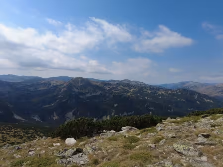
Sasho called us, and when we told him we were heading back, he said he would take his time and wait for us at Vazela. So we picked up the pace again.
My water was running low, and I was very glad I had left that extra 1.2-litre bottle below Draganitsa. At least I didn't have to worry about running out – and I had saved myself from carrying the extra weight over all the peaks.
By the time we reached Vazela again, I was feeling exhausted. We sat down for another break and I took out some more food. After eating and resting for a while, my energy returned and we continued towards Tiha Rila.
Later, after reaching the E4 again and descending along the trail, I was walking at the front when I nearly stepped on a European adder.
I spotted it at the very last moment and instinctively jumped aside. As I jumped, my right calf cramped badly and I shouted from the pain. The other two, walking behind me, thought the snake had bitten me. Meanwhile, the adder simply slithered away down the trail.
After a short rest, some massage and a sachet of magnesium, we continued downhill.
We reached the car at Tiha Rila at around 5 p.m., roughly nine hours after starting the hike. We washed up at the nearby fountain – and that's where I managed to leave my trekking poles behind. They were a pair of black Decathlon poles. I later posted about them in several Facebook groups, but nobody responded.
Apparently, someone decided to keep them.

Add new comment