
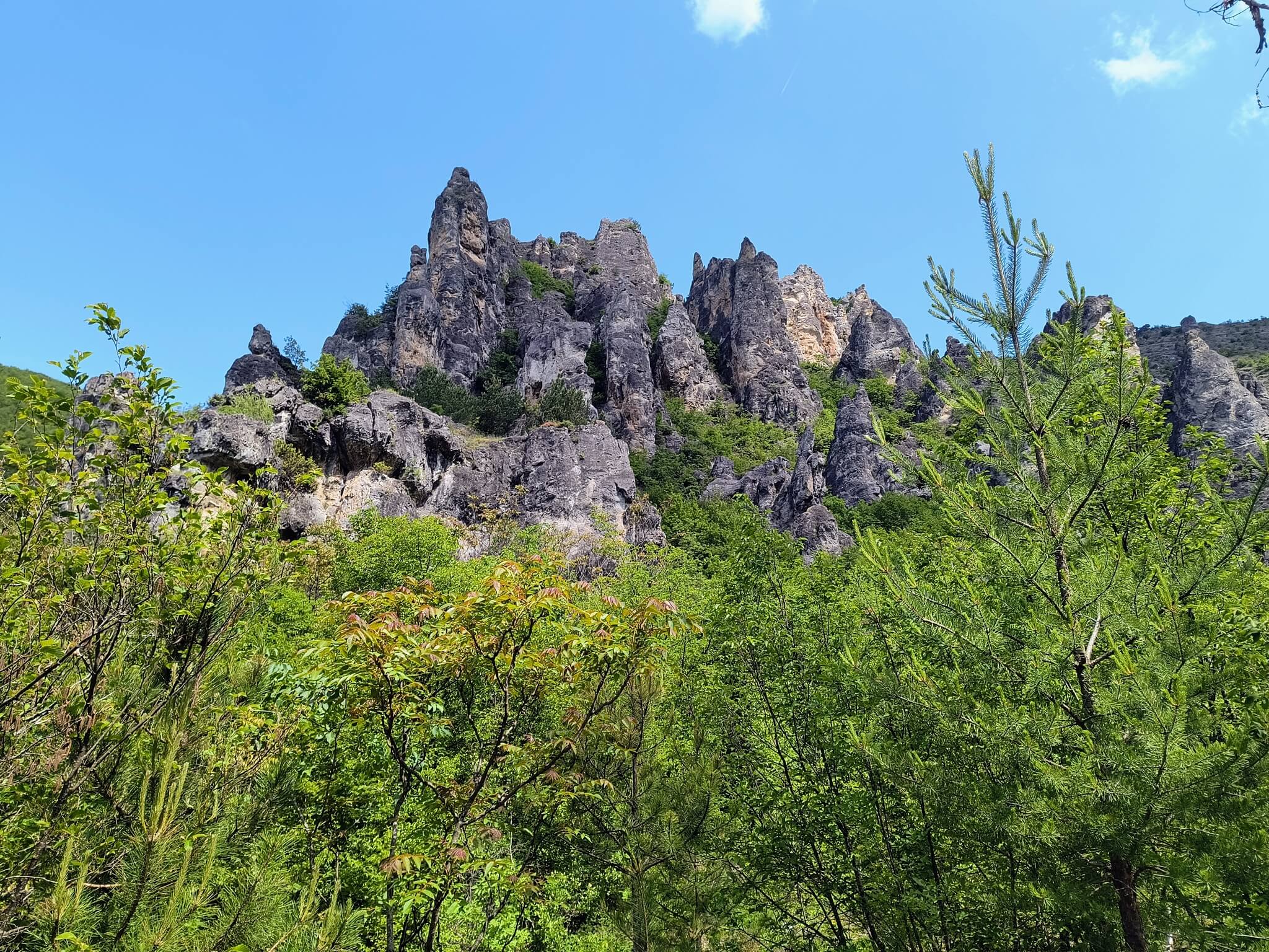
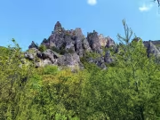
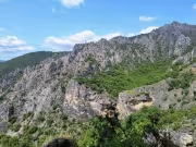
The Shegava River Canyon is located in the Konyavska Mountain near the confluence of the river with the Struma River near the village of Razhdavitsa. It is not really a river, but rather dry ravines that drain only during heavy rains. The Shegava River creates a beautiful valley with great depth and numerous thresholds and channels, and has carved impressive rock formations. It is precisely these rock formations that attract tourists to the Shegava Canyon, although in general this destination is not particularly popular and the trails are not marked.
Video from Shegava Canyon:We decided to take a walk through the Shegava Canyon on Sunday, June 1, deciding not to make a long tour along the ridge, but just to enter the canyon and see how far we could get.
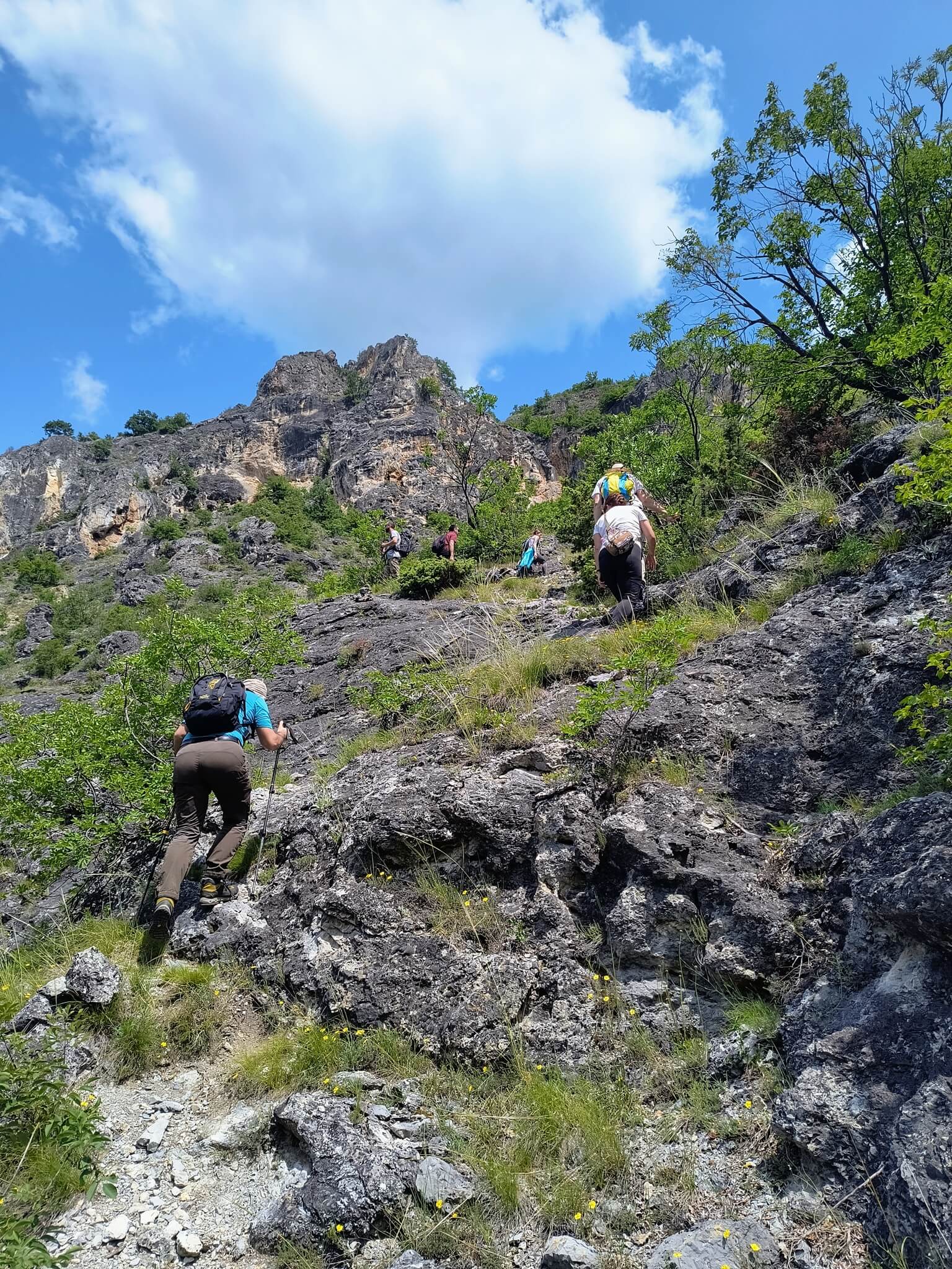
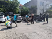
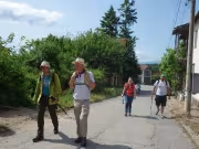
Ten of us gathered for the hike, leaving our cars at the church in the village of Razhdavitsa. You can actually drive to the entrance of the canyon on a dirt road, which will save you about 1 km, but we decided to walk.

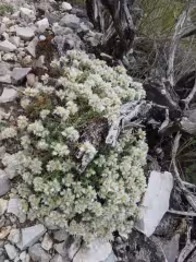
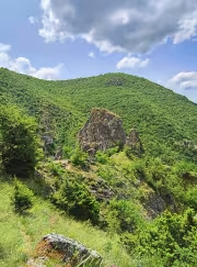
The trail in the canyon is relatively easy to follow. There are no official markings, but there are ribbons tied to the trees and bushes and some cairn. Soon after entering the canyon, bizarre rock formations began to tower above us. As far as I understand, some of them have names, but I never figured out which rock was called what.
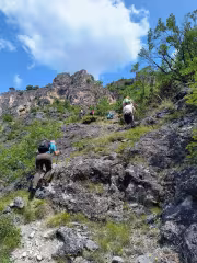
As we progressed deeper into the canyon, the vegetation became taller and denser, and the views began to disappear. This continues until you reach a point where you can turn left and start climbing up the slope. This path is marked on the BG Mountains map and passes by rocks that are marked as dangerous.
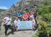
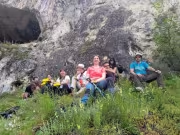
After climbing a little higher on this trail, impressive views of the canyon begin to open up. We stopped there for a group photo. After a short break, we continued upward. In fact, we never reached the dangerous rocks marked on the map.

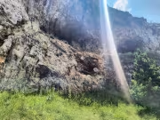
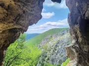
Shortly before them, we saw an interesting hole in the rocks (a hole through which you can look and pass). We decided to turn in that direction and take a look at the hole. There is a path, but it is not marked on the bgmountains map.
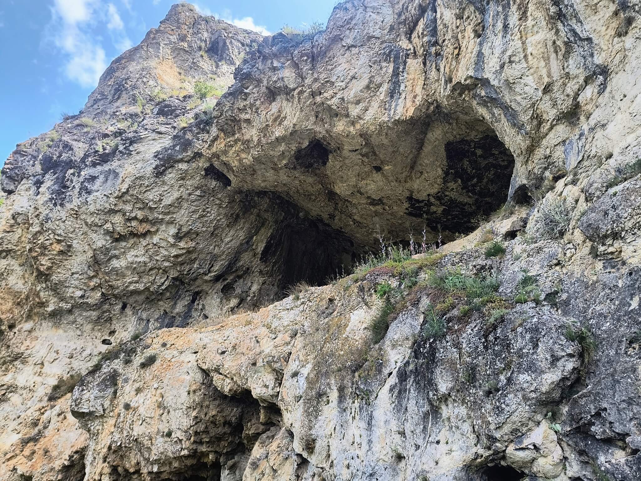
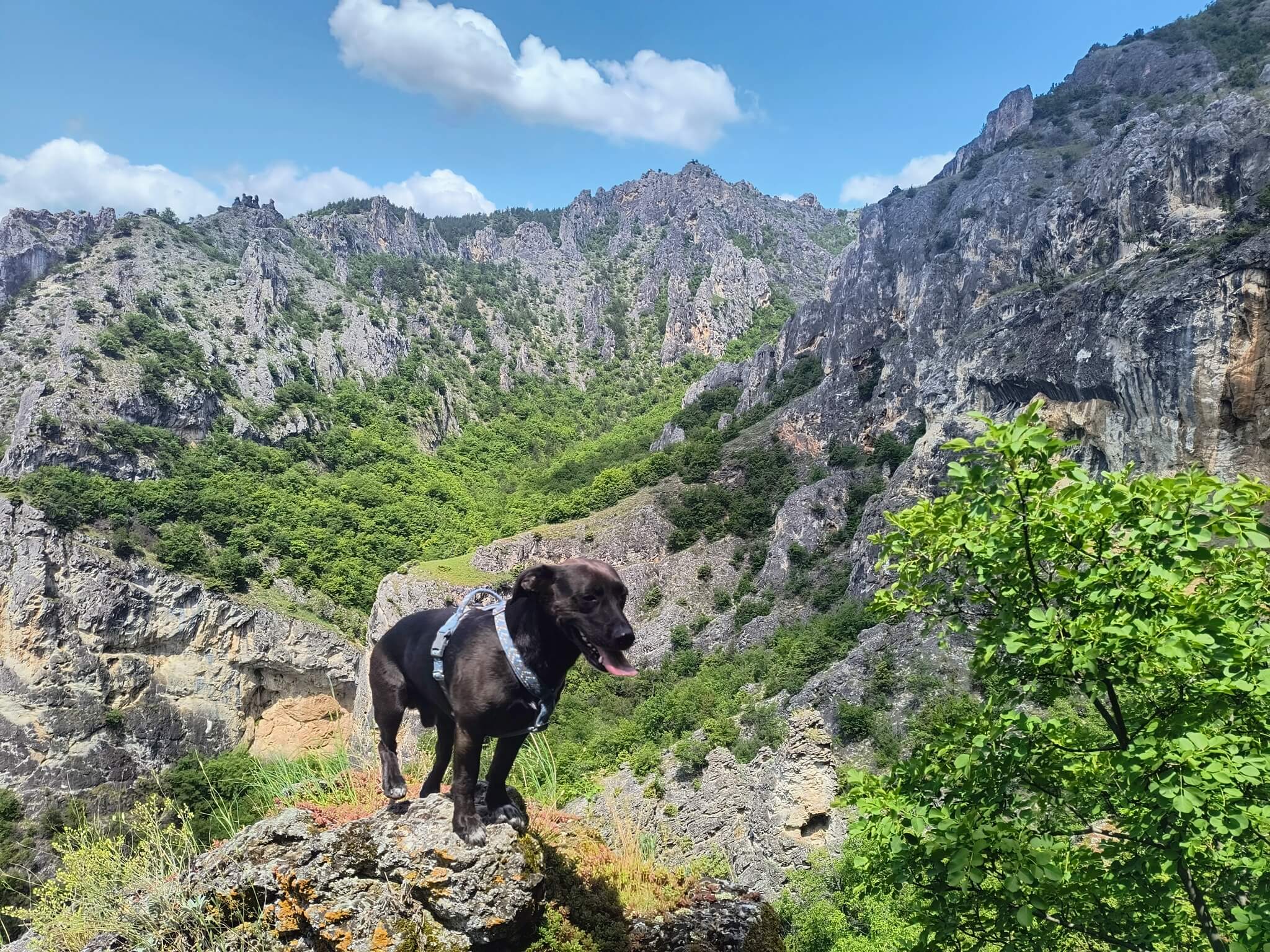
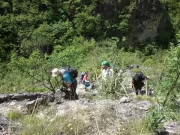
When we reached the ring, we saw that the path continued behind the bend and led to one of the caves in the canyon. We headed towards the cave and took our lunch break on the grassy slope in front of it. It was time to eat something and rest. The place was in the shade—the perfect refuge from the scorching midday sun. And the views... the views are unique from this position. I even photographed the dog Char on one of the rocks..
After we ate and rested, we decided not to climb any further, as there was no point – the most impressive part of the canyon is actually here. We decided to return the way we came and leisurely began our descent to the village of Razhdavitsa.


Add new comment