
I have climbed Yavorovnik and Zab Peak before, but this time the idea was to climb Yavorovnik along the ridge between it and Kamenitsa Peak. Our starting point was the Begovitsa hut (Kamenitsa).
We set a relatively fast pace, taking a short break at Dakov Bridge to take off some layers – not only because it was getting warmer, but also because we were already warmed up. We took off our long sleeves. Basically, from Dakov Bridge onwards, you are out in the open and the Sun was shining down on us.
Video:Without wasting any time, we continued upward, passing a group of three foreigners who were also heading to Yalovarnika, but were going to climb via the gully between Yalovarnika and Zaba (I took this route last time). Shortly after them, we caught up with a couple of Bulgarians who had taken the same route as the foreigners.

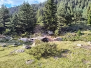
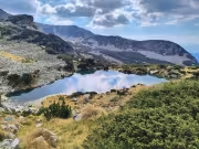
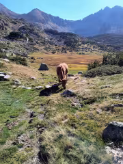
We sat down to rest and have a bite to eat at a dry, marshy little lake. This is where the paths diverge. If you want to take the gully, you have to turn right just before the lake. There are stone pyramids, but it is a good idea to have some kind of offline navigation. Our path was up to the Begovishki Pass.

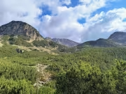
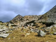
When we reached the pass, we turned right towards the pass between Kamenitsa and Bezimennata Kota, from which the ridge to Yalovarnika begins. The pass is clearly visible from here and remains in sight the entire time. We didn't stop for a break, but went straight up after passing through a short section of the Pirin rock field. We reached the pass about 2 hours and 10 minutes after leaving the Begovitsa (Kamenitsa) hut.

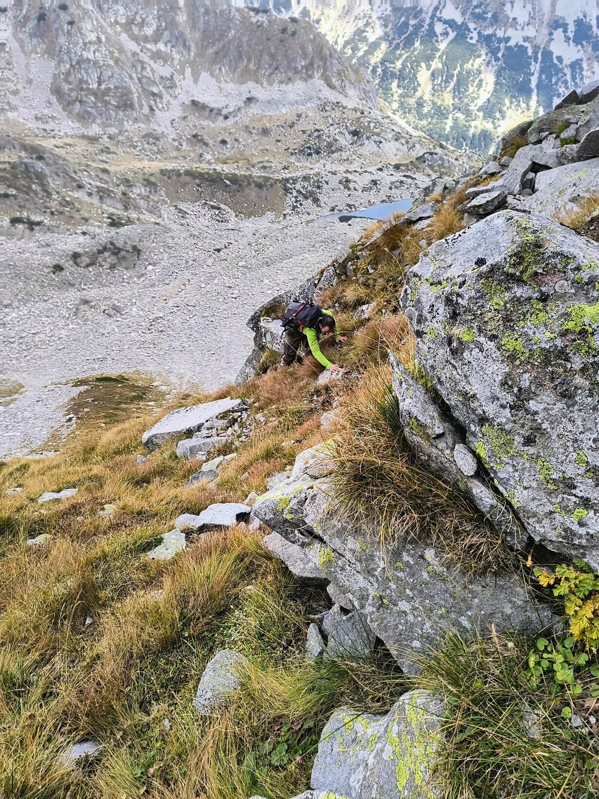
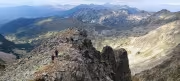
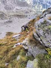
Up to the middle of the path to Yalovarnika, there were no problems; we followed the ridge, which was quite wide. Until we reached a rock that we had to climb down. It is possible to climb down directly, there is a threshold of about 2 m, but while the two of them were wondering how to do it, I decided to see if I could go around it on the left. It was possible to go around, so we passed to the left of the rock, although it was a bit difficult for people who have problems with heights, and you definitely need to be dry.
Then we went up a loose scree slope and continued along the edge, reaching some rocks that were slightly undercut on the left and then steeply up to the edge. There we wondered whether to climb another 3 meters up the rock and continue along the edge. But we didn't know what would follow and decided to traverse left again. Then, looking at the terrain from the side, if we had climbed those 3 meters, then it would have been flat to the very top, but in reality, from this point to the top, there are about 200 meters in a straight line.
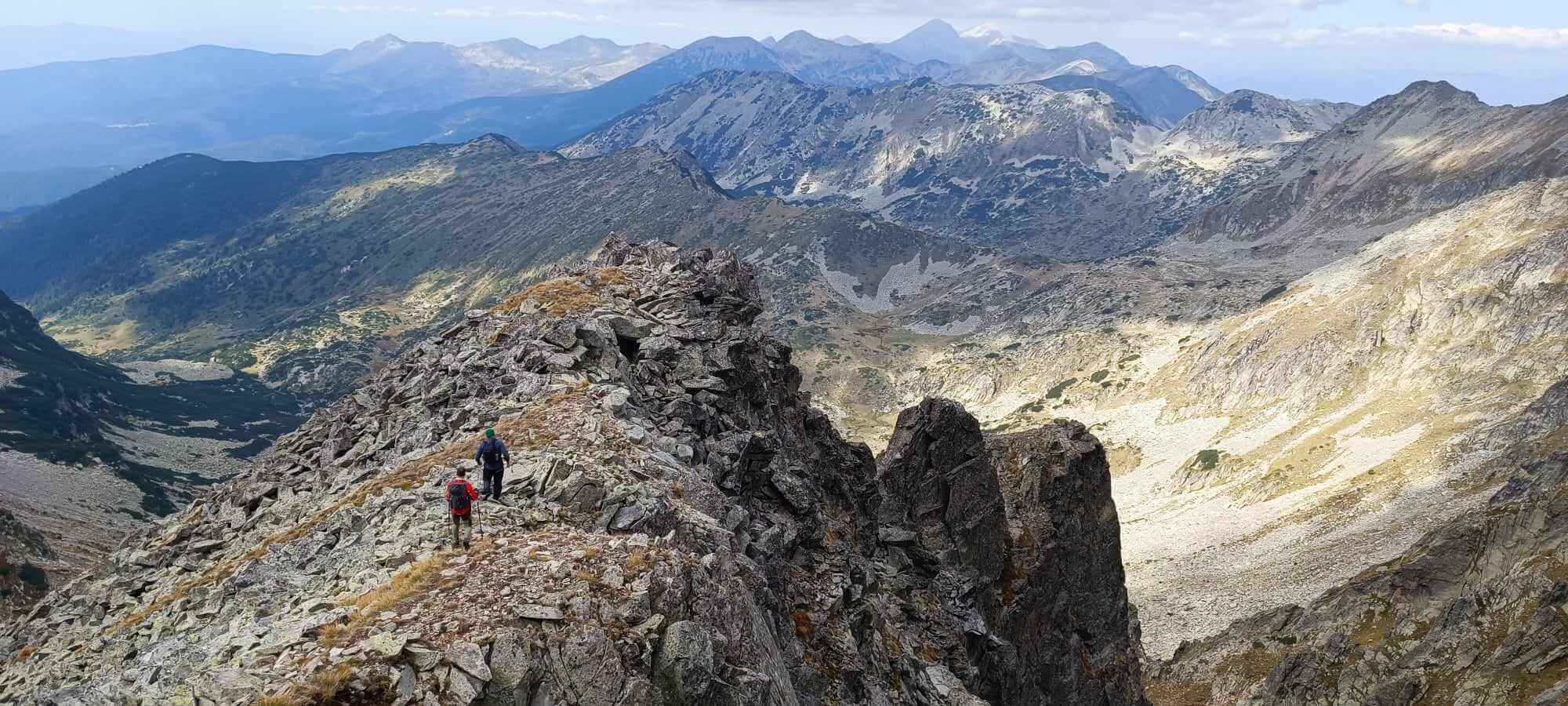
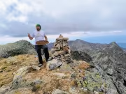
So we went around to the left. The last rock is darker in color, and we named it the black rock. After going around it, we came out onto a pleasant grassy gully, which led to the edge on the right and continued to another gully on the left, from which the summit rises. We went straight left, and at times it was quite steep until we climbed higher and came across a path with pyramids. So I recommend going right towards the edge first and then left, as it is safer that way.
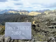
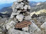
In the end, we came out just below the summit via this right-hand gully, with only 50 meters left to climb. At the summit were the man and woman we had caught up with on the way down. They were just heading to Zaba, while we stayed on Yalovarnika to have lunch and take pictures.

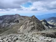
The weather was changing, with clouds and sunshine alternating. We took a slightly longer break at the first peak of Yalovarnika, then headed for the lower peak and from there made a steep descent to the pass between Zaba and Yalovarnika. There we met the foreigners (one had climbed to Zaba, and we saw the other two at the lower peak while we were resting, but they had descended to the pass before us). They turned out to be Swedes and a Dutchman, but we didn't talk much.
They headed down, and we headed up to Zaba. Zhorka was about to head down too, but we persuaded him to climb Zaba one more time. Having slowed down considerably, we reached the summit, where we found other people, some guys heading for the Pirin hut, but we recommended them to stay in Trite Reki.

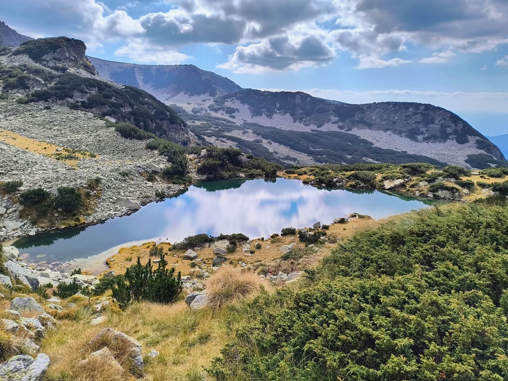
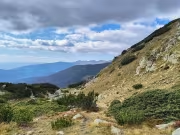
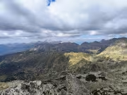
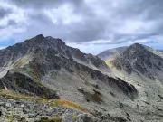
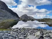
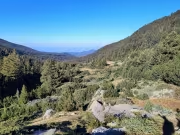
Zaba offers one of the most spectacular views in Pirin, with Tevno Lake and countless peaks visible, with Vihren and Kutelo standing out in the background. After a short break for a few more photos, we descended on the other side of the peak towards Kuklite.

And here again, disappointment: instead of continuing to Kuklite, the other two decided to descend along Kuklensko Lake. So we did, but it was a mistake. If we had gone through Kuklite and Solishte, we would have picked a lot of mushrooms. In the end, we found a few mushrooms, but it was obvious that someone had picked them before us on the way down.
We took our last break at Dakov Bridge before reaching the hut. We arrived at the hut a little before 6 p.m. We sat down to eat mushroom soup, beans with mushrooms, meatballs, and potatoes with beer. They also make a unique dessert with nuts and forest fruits, which turned out great.
At around 7 p.m., we left the hut and headed back to Blagoevgrad.
Add new comment